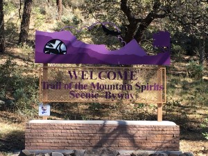
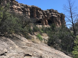
The Gila Cave Dwellings sit in the north eastern corner of the Gila National Forest, a 45 mile drive from Silver City, but an almost 2 hour drive along a curving, winding, 25 mph road. Called the Trail of the Mountail Spirits, the road is a 98 mile loop around the wildnerness.
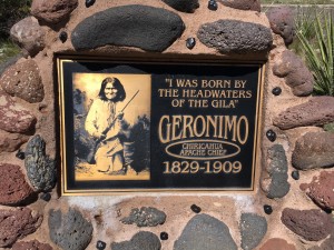
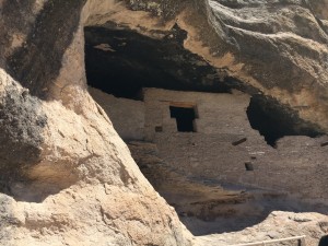
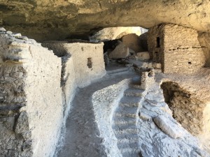
The caves were not discovered until the late 1870’s, and there’s evidence that these caves were inhabited by many different groups of people over several thousand years in the early 1000’s. The ancient Puebloan people who built these cliff dwellings belonged to a larger tradition that included part of what is now Arizona, New Mexico, Texas and northern Mexico. Archeologists call this the Mogollon area. There were 40 rooms build inside 5 natural caves, high above the Gila river below. Because they are fairly deep in the valley, their late discovery has benefitted their preservation. There’s much that isn’t known about the lives the people lived, and their socialization and trading activities, but there’s much that can be assumed by the state of these caves. There is evidence that the Apache migrated to the upper Gila River in the 1500’s but some of their oral traditions say that it has always been their homeland. We know that Geronimo was born near the Gila River headwaters in the early 1820’s, when Mexico challenged Apache control of the area. The US asserted it’s authority 30 years later and began the Apache relocations in the late 1880’s. Pretty amazing.
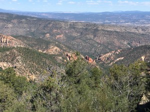
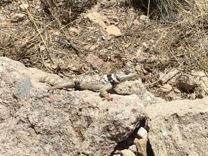
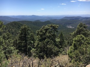
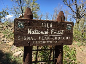
It was only a one mile loop to get to the caves and easy to do; other than some lizards, not much wild life to see. After a quick snack I began the drive back to town, with the intent of stopping at a trailhead on the way down. The Signal Ridge trail is a 5 mile round trip up to one of the highest peaks in the Pinos Altos Range, with incredible views of the Black Range, and much of the Gila protected wilderness. I hadn’t realized the elevation when I set out — I think most of the wilderness is between 6-7,000 feet. After panting my way up the trail, I discovered the peak was 8,900 ft! So that’s why it was a bit difficult! I was thinking throughout the trip up the mountain that they should name the trail something like “Butt Basher” — at least it was my exercise for the day. The view was well worth it, and my hiking poles made the trip down easy on the knees.
Dinner was at a cute local restaurant on the main drag that had been recommended, and it was a perfect ending to a good day. Tomorrow I’m heading east to Scottsdale, AZ, so several hours in the car. I’m glad for the outdoorsy day today.

Of all the days of which you have posted your trail adventures, THIS is the one I would have loved to be on with you. Looks amazing and inspiring and humbling.