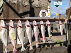
We said goodbye for a second time to Summit Lake Lodge and began the drive towards the southeastern tip of the Kenai Peninsula — the town of Homer. Known as the drinking town with a fishing problem, Homer is where big game fishermen head out to troll for halibut, but is then processed and flash frozen and sent home with them. For us, it’s a place to explore.
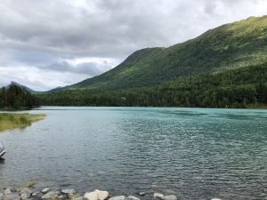
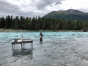
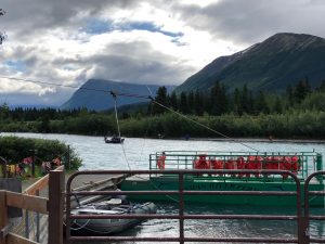
The Sterling highway takes you along the Kenai River and Lake, and then to the confluence of the Kenai and Russian river where there’s lots of opportunity to catch one of the types of salmon heading to the different spawning grounds. We pulled over a couple of times, being fascinated by the angling, and discovered a “ferry”, which operates from June to September, assisting visitors by proving access to the other bank of the Russian river. It’s attached to a cable running across the river, so basically loads up fishermen and pulls itself across where they find a spot from which to cast their lines for sockeye salmon.
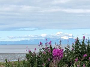
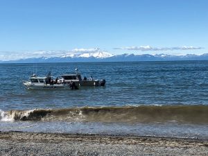
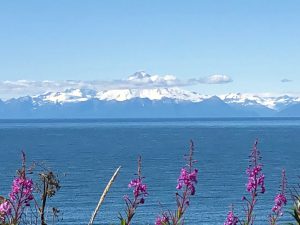
At the eastern end of the peninsula is the Cook Inlet, and as we got closer to the shore we could easily see across the water to three large snow-capped mountains at the northern end of the Aleutian range. The Cook INlet is a large tidal basin extending 200 miles from the Alaska range to the Gulf of Alaska. Mountain ranges border 3 sides of the 39,000 square mile watershed. The water is in constant motion, with daily tidal ranges up to 30 feet. Across the inlet, about 32 miles away, are several volcanos, part of the Pacific Ring of Fire where the Pacific Plate and the North American Plate create a geographic fault 25,000 feet deep called the Aleututian Trench.
The northernmost volcano is Mount Redoubt, at 10,200 ft high, and with glaciers radiating from the top. It last blew in 2009, but the big eruption was in 1989, which went on for 7 months and blanketed parts of Anchorage in an inch of ash. Mount Iliana is 10,016 feet height and has been relatively quiet. Lastly, and to the south is the island volcano of Mount Augustine, 4,035 feet high, and which last blew in 1986, deposing a 1/4 inch of ash across the Kenai Peninsula. The real point is that these are majestic mountains, across the inlet and we kept stopping the car for photos as we drove south along the shore.
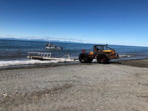
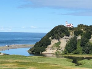
At one place we stopped we watched fishing boats coming in and being hauled out of the water onto shore on boat carriers pulled by giant tractors. And at another we could see a lighthouse high on the hillside overlooking the inlet. It was stunning, and difficult to stop clicking away.
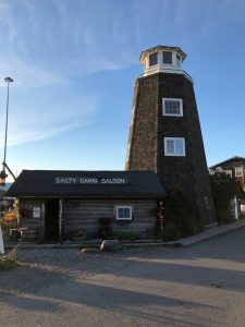
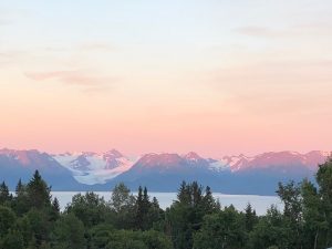
We arrived in Homer to our Bed & Breakfast, which is in a lovely location, high above the town. We drove down onto the spit, which juts out into the harbor, had a drink at the famous Salty Dawg, and added our autographed dollar bill to the thousands on the wall. After dinner we drove back up the hillside and the sky was turning pink against the mountains across the Kachemak Bay. The glaciers flowing down the mountainsides are coming from the Harding Ice Field which we saw the other side of from the Seward area. That’s how big the ice field is. The colors were just beautiful — we’ve not had any sunsets, so we relished this one.
