We had a late “call” today, to be ready at 9AM for a trip to Los Glaciares National Park, designated a UNESCO site in the 80’s, and the biggest park in Argentina. The van ride was about 90 minutes and our guide Cecelia did an excellent job of telling us about the history of the area, and the landscape. We passed a couple estancias and the low scrub common to the region; the only trees are those planted by the estancias for windbreak — poplars. We travelled within sight of the Lago Argentina the entire 90 minutes — it is the largest lake in the country, and is a beautiful blue/turquoise color from the glacier run off. It is also milky, like Grey Lake, again because of the sediment. The lake empties into a river, and then to the Atlantic and the minerals from the sediment are beneficial to fish and plant life in the sea.
The park itself is over 2,800 square miles, and almost half of that is covered in ice. The southern Andes lodge the largest area covered by ice in this hemisphere (after Antarctica). The ice field that borders and is shared with Chile is 4,826 square miles — called the Southern Patagonian Ice Field, which is 230 miles long, 21 miles wide and contains 48 major glaciers, including Grey Glacier, which we had hiked a couple of days ago.
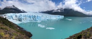
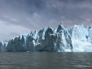
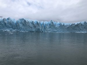
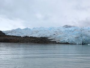
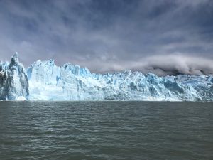
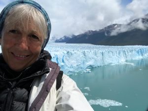
It had begun to rain once we arrived at the boat launch. The catamaran took us out for about an hour to a southern arm (Brazo Rico) of the lake to see the Perito Moreno Glacier. At certain times of the year this arm is connected to the Canal de los Tempanos, and the Brazo de Mayo, but the glacier has moved and the tip of it has hit the peninsula connected to the mainland. At some times, after the melt, a natural archway/bridge is formed by the movement of the water, rejoining the two arms of the Lake around the peninsula, which eventually crashes into the water, and then may once again slide and bump into the land, sealing off the passage. So the boat was to show us the southern bit; lucky for us the rain stopped once we got near the glacier, and we tacked back and forth and were able to get some amazing photos. And as we had been promised, we did witness a calving, where a huge bit of ice slid off the glacier into the water, causing a fairly big, almost surf-able wave. It was quite magnificent to see. It’s possible to take hikes on this glacier as we did on Grey, but because this one is so accessible — drive to the visitor center, boat to the opposite shore and then a 1 km walk to the edge of the glacier to get outfitted — there were scores of people on it. We much preferred the more remote, though more challenging hike we took in Chile. But seeing the people on the ice did help provide the perspective for size.
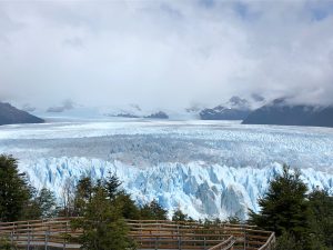
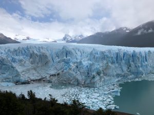
Back on land, we headed for the visitor center and the walkway which provided views of the edge of the glacier we’d seen from the boat and the southern arm, and then paralleled it all the way around to the northern part, so you could see where it had crashed into the peninsula. And we saw another bit chunk hit the water. I didn’t get either calvings on my camera but others did, so eventually I will have evidence! This particular glacier is considered stable, having not receded any more than it has grown. It’s height is between 165-230 feet, and is 98 square miles, stretching as far as the eye could see. Another way to get the perspective in a photo was to include one of the tourist boats in it — tiny compared to the massive ice structures.
After our little 4 km stroll, it was back in the van for the ride back to town, to collect our laundry and have a rest at the hotel before a dinner of a mix of Argentinian grilled meats, with salad and potatoes and really delicious empanadas. All the local specialties, along with local wines made for a lovely meal.
