Today’s trail was rated a 5 out of 5, so we knew that in order to complete the full 22km we needed an early start. Given that we had to take a bus back to the spot we had left off on our first day, and there were limited bus schedule options, we were on the bus at 6AM, and on the trail by 6:45. And it was pretty damn challenging, as the guide book and trail map had promised.
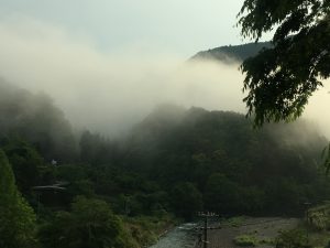
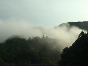
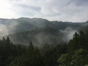
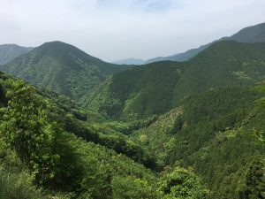
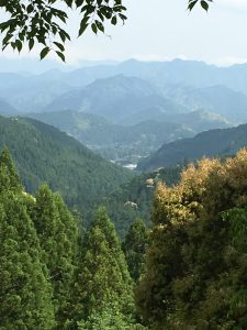
The incline, from 374m to 525m wasn’t too scary, but the terrain was rocky and full of large tree roots, and at time was just a narrow ledge with nothing to prevent an errant slip and fall! But it was gorgeous. We rose through the mountains, and the mist hung in the verdant green hills as the sun came up. It was very slow going, and while we had hoped to maintain a relatively modest 3km/hour pace, it soon became clear that the 45-60 degree inclines, followed by some treacherous declines would slow us down.
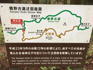
There was a detour that was necessary because the mountain “broke” during a monsoon in 2011, and while beautiful it was pretty difficult too. The climb over one section of 1km was from 454m to 646m, so clearly we had our own natural stair master! It was as if we had climbed up one side of a mountain, and then walked around to the other side and then hiked down.
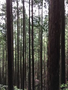
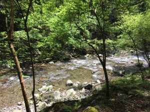
The day was hot and humid but the shade of the tall cedars helped, and for parts of the trail we were following along streams and rivers that would suddenly cascade into waterfalls. The sounds of the water, a few birds and boots and poles on rock and gravel were the audio for the day.
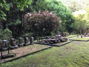
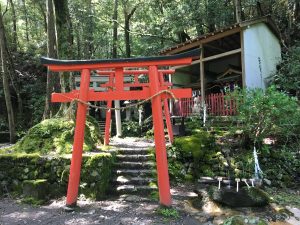
Along the way there are little wooden boxes on stands which hold a stamp and ink pad. If a hiker is working towards a camino certificate, it is necessary to gather all 18 stamps. So in addition to wondering how much longer a certain section of track might be we wanted to be sure that we didn’t miss any stamps. There were many shrines along the way; some of which had the stamp element, some of which did not, and almost all had a description of the place and the reason for the shrine at that spot.
Finally we made our way into Hongu Taisha, which is one of the three temples making up the Kumano Sanzan. There were no bands playing or even people applauding as we walked in (separately — Karen and I had different paces so took the last several km each at our own pace). Just a few tourists and some shops selling good luck charms. But there were two stamps to acquire there before heading over to the office to get certified.
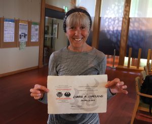
It’s a special thing for the people at the Hongu Tourist office to prepare a Dual Credential, so we filled out the paperwork, and they took our photos for the website, and gave us a special certificate on Japanese rice paper, and a dual camino pin. So we are official. Interestingly, on this camino you gather all the necessary stamps on the first 2 days of the the walk, and get your credential. And then you can walk the remaining 2 days without any fanfare or stamps, just to get to the temple at Nachi Taisha.
We are both exhausted, so I will add a few photos and leave this post at that!

You look awesome after a grueling hike!