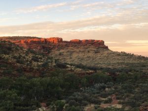
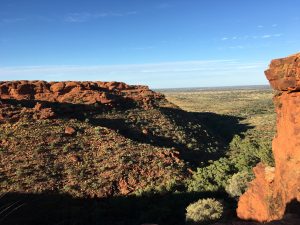
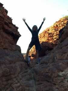
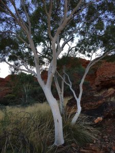
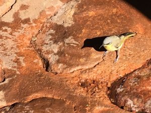
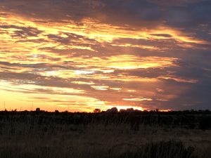
Up at dark, breakfast and instructions to make a wrap for lunch and we set off for a relatively short drive to King’s Canyon. The sky glowed pink and Venus was visible, and we had begun our climb to the rim of the Canyon by 6:45. And it was a climb. Hundreds of rock ledge steps led the way to the rim trail, a 7km hike high above a green garden canyon below. There was little shade and magnificent views from the 2,550 ft rim. Along the trail were ghost gum trees with stark white trunks and branches. These trees manage the dry periods with roots that spread under the rock and quite far, and by “starving off” different branches to protect itself. Ross explained the various trees and grasses and about how the aboriginals from this area used them as medicine and to make spears. There were some very cute eastern yellow robins at the water station.
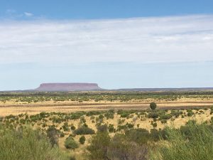
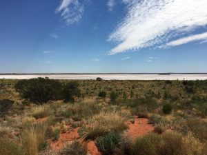
Several hours later we were back in the van, heading to the National Park. We stopped for lunch along the road at a lookout for Mt. Connor, another large red rock in the distance, which rose from the land during the Ice age. It sits on private land. The ranches in this part of the outback are millions of acres, and mostly cattle. Roughly 4,000 head of cattle in a million hectare ranch. To keep track of the cattle and to herd them around the ranch, there’s a system of watering troughs throughout. As the cattle walk to the water, they pass through a one-way gate with snaps a photo of their ear tag and weighs each one. And that photo and data are transmitted back to headquarters using solar panels for power. Pretty high tech way to manage such a massive space. Across the road from the Mt. Connor lookout was a huge salt lake — mostly dry and bright white in the sunlight.
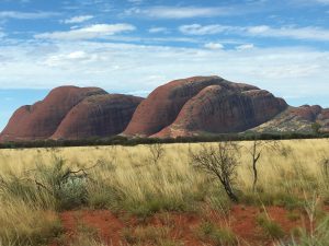
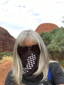
We stopped at our campsite for the night which was similar to the previous spot, but the tent/cabins had actual beds and a lamp. However, the toilets were still a long walk down a dark path during the night. We claimed our spots and headed out to a hike at Kata Tjuta, also called The Olgas, named for a danish queen long ago. We were going to walk the Walpa Gorge trail, which was just 2.6km, but after sitting in the van after our morning hike, it was good to stretch one’s legs. But the flies were brutal! They are small little black flies but they go for any moisture on your face, so swarm around your eyes and nose and mouth. I found them to be so annoying that it was difficult to enjoy the hike. I covered up my face, looking like a bandit, and finally understood those using the head netting. The Kata Tjuta collection of large rocks is considered by the Anangu people to be a place for men’s business, so there are only a few places where hikes are permitted. It is made of conglomerate rock and rises to 546 meters. The name means “many heads” in the local language and is considered sacred.
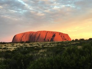
Our final stop for the evening was for sunset at Uluru, or Ayers Rock. It is 346 meters high and 3.6 km around the base. There’s a designated sunset viewing spot and when we arrived so had all the buses. Some are bbq’ing in the car park, many had pulled out chairs for sitting. As we were traveling with Adventure Tours, we had a table set up with snacks and some champagne and watched the beautiful sunset from a spot along the path. The cloud cover had me a bit worried that there wouldn’t me much of a show, but I was wrong, and we were lucky enough to not only see the sun set in the distance over Kuta Tjuta, but also the rare time when Uluru glows red as the sun dips below the horizon. It was simply stunning.
Then back to camp, and another shared experience in the camp kitchen. And an early night, because once again we needed to be up early for a sunrise base walk. The wind howled, shaking the canvas walls of my tent/cabin, but having a light and a pillow made for a somewhat better sleep.
