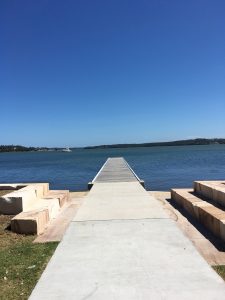
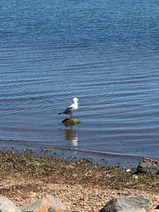
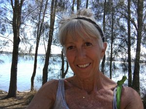
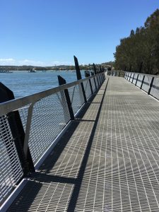
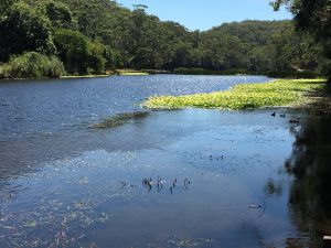
Wednesday was my last day in Will’s part of the world. I’ve been referring to is as either Newcastle (he is south of there), or Lake Macquarie (which is the landmark around which little villages and cities thrive). Will’s official address, and where I have stayed for the past week, is in Eleebana, and during a walk around the lake short I discovered the origins of that name. Eleebana is an Aboriginal word meaning quiet, peaceful place, sweet fragrant beauty. Very apt description. This entire area is an absolutely lovely place to live. The Lake (or Bay to my thinking), is 100 sq km, which is twice the size of Sydney Harbor, with over 174 km of shoreline. And tucked in the shoreline and coves are towns and villages and yacht clubs and playgrounds and a path that extends about halfway around. There are sailing races and places to swim and boats ranging from yachts to kayaks. There are also dolphins and sharks (which come in from the ocean via the channel (again, it’s a Bay, right?), and good fishing. On my 7km walk there were runners and cyclists and moms with strollers and older people out for some exercise. It’s a really nice part of the world.
We spent some time in the morning at Will’s coffee shop — a small place where everyone is a regular and you can sit for hours jawing with anyone who stops by. It was like a Cheers atmosphere without the beer or Cliff and Norm. It would be nice to have a place where everyone knows your name at home — but not likely in LA — it’s a small town effect. Anyway, a lovely morning and afternoon.
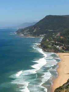
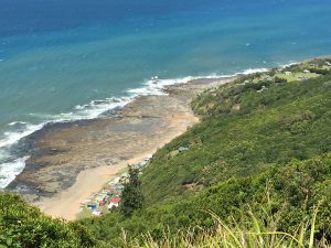
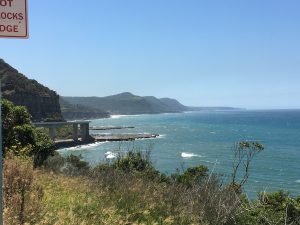
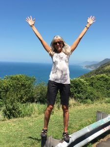
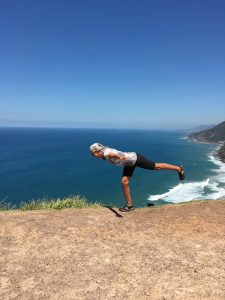
This morning we set off south, for a 4 day drive to Melbourne. It’s 1,300 miles, but we will take some time along the scenic route — the Great Pacific Road. Sorta like the PCH and Route 1 heading up the Cali Pacific Coast, except the ocean is on our left as we head south! Once we got through Sydney we entered the Royal National Park, which was founded in 1879, but re-named when Queen Elizabeth visited in 1954. There are dozens of walking/hiking paths, but one main road that curves and winds through the wooded hills as it heads south. The first lookout was at Otford, on a windy bluff with an amazing view down the coast. Down below was a shack community of Bulgo. During the years of the Great Depression it was established as a thriving community. The people had a thrift and sustainable way of life, living off the resources from the sea. Further on, the Sea Cliff Bridge, just north of Wollongong, was completed in 2005 and has become a tourist attraction and icon for the area. It is curved and arcs out over the ocean, is 665m long, and was completed in just 18 months.
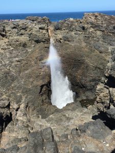
We stopped for lunch in Kiama, a picturesque resort town which had been a vast tropical forest with towering gums, rubber trees and cabbage palms, inhabited by the Wodi Wodi Aborigines before the European settlement in the 1800s. Kiama can mean “place where the seas makes a noise”, or “good fishing ground”. The abundance of cedar in the area meant that settlement was assured, and by 1820 much of Sydney’s cedar was being shipped from Kiama harbor. The Kiama Blowhole was originally named “khanterintee” (mysterious noise), and was first discovered by a European in 1797 by explorer George Bass. It is believed that it is the largest of its kind int he world, having been known to spray up to 50 meters high. Essentially, waves enter a cavern below causing air pressure to build up, forcing a spray out of the “roof”. The wind and waves weren’t cooperating for a big show today, but I did catch a few little sprays.
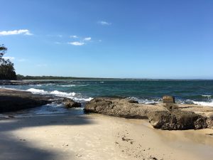
Then it was on to Huskisson, on the edge of Jervis Bay, where our airbnb awaited. This bay is the deepest natural harbor in Australia, and is known for its high water clarity, as no major rivers flow into it, and there’s no heavy industry. The northern Beecroft Peninsula ends at Point Perpendicular with a major coastal lighthouse. The southern Bherwerre Peninsula ends at Governor Head and is primarily taken up by the Booderee National Park and Botanic Gardens. Bowen Island, just offshore, and restricted, is a reserve with protected rookeries for the Little Penguin. The entire bay is a protected marine park, which ensures the natural beauty will be protected. We walked along Shark Net Beach (which used to have a shark net, but no longer), and the wind was up and the families and dogs were out it was simply divine. All the beaches I’ve encountered along the east coast of Australia are simply stunning. And I’m always surprised that there aren’t more people at them. I guess when you’re a country just slightly smaller than the United States with only 23 million people you can get to the beach without traffic. How nice that would be!
You have a way of making beaches sound awesome! Maybe it is just in that part of the world!!
What a view!